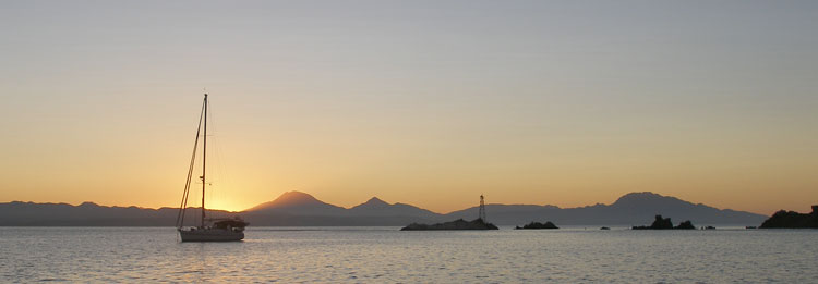
We have made two visits so far to Isla San Marcos, anchoring both times at the northwest end called Sweet Pea Cove. If you are a Google Earth fan, the coordinates are 27 14 08 N and 112 06 37 W.

This island is unlike most of the islands in the Sea of Cortez, in that it is inhabited year round (a small community is located a few miles south of Sweet Pea) to support a gypsum mine operation. We have not yet visited the village (near to the shipping dock so very dusty!), but friends stopped in and shopped at a small market there.

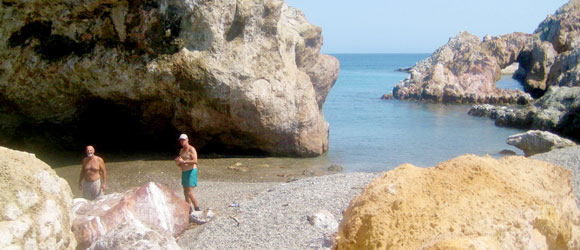
Just around the corner from Sweet Pea on the north end of the island are several coves along a rocky shoreline where we went exploring with our friends on Firefly.

There is a small cave opening along the coastline (just high enough for a dinghy to pass under at low tide) that brings one into a quiet, little enclosed lagoon.

We cruised into the lagoon one day for a snorkel trip. The water temp was very pleasant and the clear water allowed us to see a variety of fish (even a couple of lobsters!).

